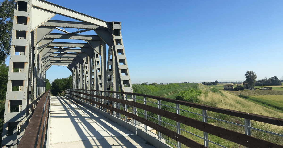
Emilia Romagna is a region rich in traditions that offers tourists and visitors many experiences to discover by e-bike!
The territory and the numerous cycle paths that cross the Region, in fact, make slow tourism absolutely favorable and fun.
From Piacenza to Romagna there are 10 cycle routes that cross parks and nature reserves, the so-called Parks cycle paths.
The Cycle Routes of the Parks which differ in length and difficulty of the routes, and allow lovers of slow tourism, whether experts or not, to discover the area.
The cycle paths are also accessible by train, with a route indicated by specific signs that starts from the nearest railway station and arrives at the gates of the protected area and, therefore, at the beginning of the cycle path.
Trenitalia also provides carriages dedicated to the transport of bicycles.
Going into specifics, here are the 10 cycle routes in the Parks in a little more detail:
- STYRONE CYCLE ROUTE (Stirone and Piacenziano regional park)
A 42 kilometer circular route that starts from Fidenza station. Along the valley floor of the Stirone torrent, the cycle route of the same name winds uphill with a varied and sometimes difficult route. The difficulty is medium and it takes a day to cross the expanses of fields interspersed with rows of oak and mulberry trees, up to the hilly woods that cover the heights of Vigoleno. Among the villages you pass through, Fidenza, Vigoleno and Salsomaggiore are worth a stop.
- TARO CYCLE ROUTE (Taro Regional River Park)
This cycle route has two different itineraries, physically distinct but complementary, one of 6km and one of 20km.
It starts from the Collecchio train station and in half a day you can easily cover both. The difference in altitude is negligible. We are near the Cisa state road, in the province of Parma.
- CARREGA WOODS CYCLE ROUTE (Carrega Woods Regional Park)
This itinerary crosses the Carrega Woods, near Sala Baganza. Also in this case, the closest train station is Collecchio. The route is 20 km long, the difference in altitude is 200 metres, and, if you stay on the route, it is very easy to follow. The more adventurous can try the variations on the forest roads.
- SASSI PARK CYCLE ROUTE (Sassi di Roccamalatina Regional Park)
An itinerary for the fittest, both in terms of length – 50km – and for the climbs that create a difference in altitude of 550 metres. The surface is good in almost all sections. We start from Vignola station and the stars of this excursion are the Sassi, emerging arenaceous spiers almost always visible in the center of the route ring. Don't miss the small church of Pieve di Trebbio, very close to the visitor center of the Sassi si Roccamalatina park.
- GAIBOLA GESSI CYCLE ROUTE (Regional Park of Gessi Bolognesi and Calanchi dell'Abbadessa)
The 21 km circular route can be reached from both the San Lazzaro and Ozzano railway stations. Medium difficulty and a difference in altitude of 200 meters characterize this itinerary. The park is characterized by chalk, a typical rock of this area of Bologna, and by karst environments enlivened by sinkholes.
- MEMORY CYCLE ROUTE (Monte Sole Regional Historical Park)
A cycle path dedicated to the most experienced and trained riders. We are in the province of Bologna, between the municipalities of Marzabotto, Monzuno and Grizzana Morandi. The Park is a place of memory, a place sadly known for the massacres of 1944. In a natural context of great value due to the presence of important botanical and faunal species, visitors are invited not to forget the Nazi-fascist massacre of Marzabotto.
The route is challenging, 25 km long to be covered in one day and with altitude differences of 500 metres. The (small) reference station is Lama di Reno.
- MONTEVEGLIO CYCLE ROUTE (Monteveglio Abbey Regional Park)
Easy to travel, it winds for 27 kilometers of gentle ups and downs on an asphalt surface. We start from the Bazzano train station whose historic center is characterized by a fortress and a civic museum full of archaeological finds. Through secondary roads you reach the Park area. On the way you come across the splendid Abbey of Monteveglio, a monastery which was the backdrop to some historical events linked to the figure of Matilde of Canossa. It is not always open for visits, so it is advisable to check the site or contact the secretariat.
- GESSI CYCLE ROUTE (Vena del Gesso Romagnola regional park)
A 30km excursion with a total difference in altitude of 900 metres. It can be split into two rings or, of course, shortened if necessary. It is a challenging route, suitable for the fittest. The departure is in Brisighella, one of the most beautiful villages in Italy. We are in the province of Ravenna and it takes a day to cover the entire itinerary.
- TREBBIA CYCLE ROUTE (Trebbia regional river park)
In the province of Piacenza, going towards Liguria, you come across the wild Val Trebbia, with its hills and medieval villages. This cycle route passes through different landscapes, the urban one of Piacenza – where we start – the river one, near the splendid Rivalta, and the hilly one that goes up to Rivergaro. A round trip of approximately 50 km on a mixed route: asphalt, dirt road, gravel.
- SECCHIA CYCLE ROUTE (Secchia river expansion basin oriented nature reserve)
We are in Modena and on this cycle route you can travel along cycle paths or small roads with little traffic to reach a destination of excellent naturalistic value: the “Cassa di Espansione del Fiume Secchia” reserve. The itinerary includes Rubiera, where you can visit the ancient Hospital and the Romanesque parish church of S. Faustino. In one day you can cover 25 km of the short route or 38 km of the complete one. The difficulty is very low.
To this link it is possible to consult all the technical specifications relating to these wonderful routes!