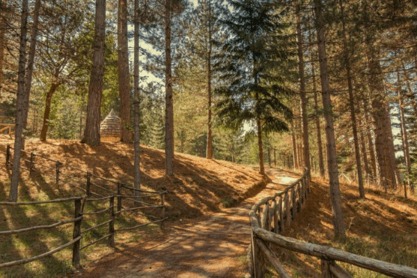
Calabria, in addition to a wonderful sea and traditions to discover, is home to a great little treasure to be experienced: the park cycle path.
The site dedicated, which contains all the most evocative routes and landscapes to explore.
Between Aspromonte, Sila, Pollino and Serre, this cycle route offers 545 km of great wonder, perfect to discover by e-bike.
The Sila National Park, in particular, is a real jewel in the heart of Calabria, not far from the city of Cosenza.
This is the largest plateau in Europe which contains one of the oldest forests in Italy, a true green lung of Southern Italy.
There are four main routes within the Park, each with its own splendid peculiarities.
The first route concerns the route Bisignano-Cupone, where the wonderful Lake Cecita is located.
This route is 44 km long, with a difference in altitude of 1143 m and starts from Bisignano, guardian of the Sanctuary of Sant'Umile and goes up for about 10 km until reaching the Timpone della Morte and then descends towards Acri; from here the route crosses Conca delle noci and climbs up to 1262m above sea level near Cava di Melis where you can observe some of the highest vineyards in Europe, until reaching Lake Cecita, at 1142m.
The second route, about fifty kilometers long, starts from Lake Cecita then continuing towards the mountain; after passing the Serra della Castagna you reach the slopes of Darkcomb.
After a long descent and a small ascent, the route leads to Germano, a hamlet of San Giovanni in Fiore and, going around Lake Ariamàcina, you arrive near the Croce di Megara and the "Giants of Fallistro" nature reserve, 5 wonderful hectares of centuries-old pine forest; after passing the small village of Sculca, at an altitude of 1360 m, you reach Silvana Manisio, the last stage of this second route.
The third route, which covers the route Rovale-Villaggio Mancuso, has a length of approximately 56 km with a difference in altitude of 800 metres.
It starts from the small center of Rovale and proceeds in the direction of Lake Ampollino, reached after a series of ups and downs; the route runs along the lake for about 13 km and then proceeds towards Manco Spineto Migliari where it climbs up to 1435 km above sea level and then descends towards the Racise and Mancuso villages, with their wooden huts built at the beginning of the twentieth century.
The last route of our Sila Park tour starts from Tavern, birthplace of one of the greatest painters of the 17th century: Mattia Preti.
After crossing the village of Sorbo S.Basile, the cycle route continues up to Fossato Serralta and then reaches an altitude of 800 meters towards Donnalenardo; from here the difference in altitude decreases and you first cross the Melito river and then the Corace river. After about 8 km you reach the panoramic point on Mount Tiriolo from which you can admire the two seas and, on good weather days, also the Aeolian Islands.
We would like to point out that ours is present in Rende (CS). E-Bike Travel Rental Point, where you can find e-bikes for hire and beautiful organized tours to help you fully enjoy the wonders of this area.

